LightCast · Bryce Canyon National Park, UT

Bryce Canyon National Park Photography Guide

Reading today's conditions…

Photography viewpoints · Bryce Canyon

Where to Shoot

Bryce Canyon isn't technically a canyon — it's a series of natural amphitheaters carved into the edge of the Paunsaugunt Plateau, filled with thousands of hoodoos in shades of red, orange, white, and purple. At 8,000–9,000 feet elevation, the park sees real winter, and snow on the hoodoos is one of the most photogenic conditions in the American West. The light at Bryce is extraordinary: the limestone holds warm color long after golden hour ends.

🌅
Bryce Point and Inspiration Point Rim Overlooks · Sunrise
Bryce Point sits at the southern end of the main amphitheater and gives the widest view of the hoodoo basin — thousands of spires catching the first orange light of sunrise while the western sky fades from deep blue to lavender. Inspiration Point, slightly north, offers a more compressed view across the Silent City formation. Both are drive-up overlooks, but arrive 20 minutes before sunrise to claim a rail position in peak season.
🏜️
Navajo Loop and Queens Garden Trails Amphitheater Floor · Hoodoo Light
The combination Navajo Loop / Queens Garden hike (3 miles, 550 feet) puts you on the amphitheater floor among the hoodoos rather than above them. Wall Street — a narrow slot between two- and three-story hoodoos — is one of the most dramatic canyon sections in the park. Morning light filters down into the slot for about 30 minutes after sunrise. The perspective from below looking up at the rim is impossible to achieve from the overlooks.
🌌
Sunset Point and Natural Bridge Bortle 2-3 · Night Sky
Bryce Canyon is a Gold Tier dark sky park with some of the best hoodoo foreground for Milky Way photography in the country. Sunset Point gives easy access to the amphitheater rim with hoodoos in the foreground and open sky to the south. Natural Bridge — a 95-foot natural arch — frames the galactic core perfectly from May through August. The 8,000-foot elevation keeps the seeing steady on clear nights.
❄️
Fairyland Point North Rim · Winter Light
Fairyland Point at the north end of the park sees fewer visitors than the main amphitheater and gives views of the Fairyland Canyon and the distant Aquarius Plateau. In winter and early spring, snow caps the hoodoos while the red limestone shows through — the color contrast is the strongest in the park. The access road to Fairyland Point is open year-round and is often snow-free even when the main rim road requires chains.

Inside LightCast Suite
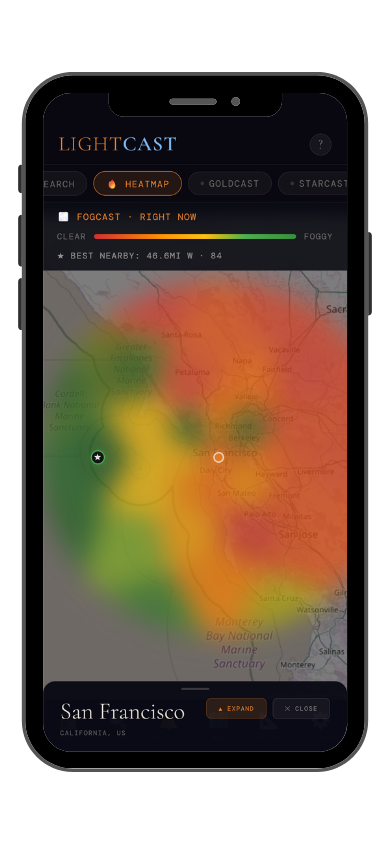
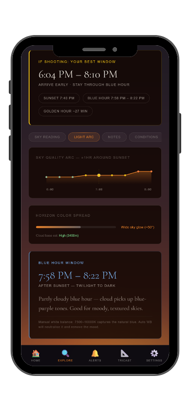
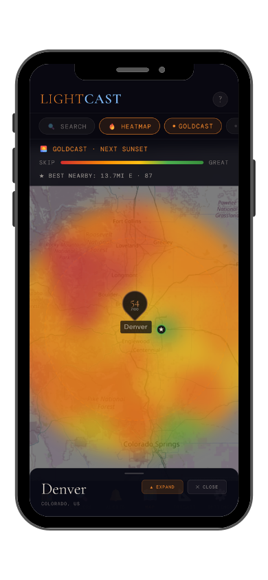
GoldCast golden hour forecast GoldCast conditions heatmap

GoldCast: golden hour score (left) · conditions heatmap (right)

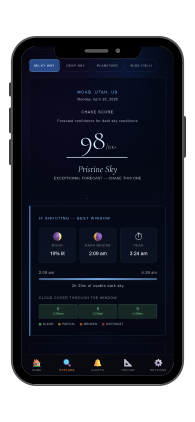
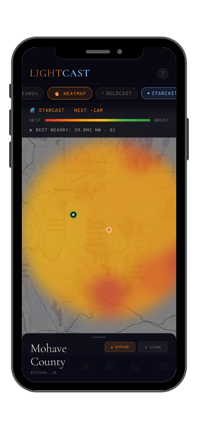
StarCast night sky forecast StarCast heatmap

StarCast: night sky score (left) · conditions heatmap (right)

LightCast Get a live forecast for your favorite spot


Frequently asked
What is the best time to photograph Bryce Canyon National Park?
Spring and fall offer the best mix of conditions. Winter is underrated — snow on the hoodoos against blue sky is one of the most striking contrasts in landscape photography. Check GoldCast the night before for cloud cover and exact sunrise timing, especially in shoulder seasons when conditions change fast.
Can you see the Milky Way at Bryce Canyon?
Yes — Bryce Canyon is a Gold Tier International Dark Sky Park with Bortle 2-3 skies. The hoodoo formations are some of the best Milky Way foreground in the country. The galactic core is visible from late April through September on new moon nights. Check StarCast for moon phase and cloud cover before heading out.
Are drones allowed at Bryce Canyon?
Drones are prohibited without a Special Use Permit, which is rarely granted recreationally. Check current NPS rules and FAA TFRs before any flight near the park.
Is it worth hiking into the amphitheater to photograph the hoodoos?
Absolutely. The view from the rim is iconic but the perspective from the amphitheater floor is completely different — you're among the hoodoos rather than above them, and the light in Wall Street slot at sunrise is extraordinary. The Navajo Loop / Queens Garden combination is 3 miles with 550 feet of gain and is manageable for most photographers.
What is LightCast?
LightCast is a suite of photography weather tools. GoldCast handles golden hour timing with cloud and fog forecasts. StarCast scores night sky conditions. DroneCast covers wind and visibility for drone pilots. All three are free on web; full features including 7-day forecasts and push alerts are in the LightCast iOS app — $2.99/month after a 7-day free trial.
LightCast
Plan your next shoot.

Search any city, park, or location worldwide

Get LightCast on iPhone
or
Learn More →

$2.99/mo after 7-day free trial