LightCast · Crater Lake National Park, OR

Crater Lake National Park Photography Guide

Reading today's conditions…

Photography viewpoints · Crater Lake

Where to Shoot

Crater Lake is the deepest lake in the United States, filling the collapsed caldera of Mount Mazama with water so blue it reads almost unreal in photographs. At 7,000 feet on the rim of an ancient volcano, the park is buried under 40+ feet of snow for much of the year — the rim road doesn't fully open until July. When it does, the combination of cobalt water, snow-dusted caldera walls, and Wizard Island cinder cone is unlike any other landscape in the country.

🌅
Watchman Peak and Cloudcap Overlook Rim Road · Sunrise / Sunset
Watchman Peak on the west rim is the classic sunset position — the 1.6-mile round-trip hike climbs 420 feet above the rim and gives an elevated view of Wizard Island directly below with the caldera stretching east. At golden hour the cinder cone catches warm orange light while the lake holds its deep blue. Cloudcap on the east rim is the highest driveable point in the park (8,065 feet) and gives wide views for sunrise across the full caldera.
💧
Wizard Island and Cleetwood Cove Lake Level · Water Access
Cleetwood Cove Trail is the only legal access to the lake surface — a 2.2-mile round trip that drops 700 feet to the water. The perspective from lake level looking up at the 500–2,000-foot caldera walls is dramatically different from the rim. Boat tours to Wizard Island run July through September; the cinder cone summit gives a view back toward the caldera walls that's impossible to achieve from the rim road. Reserve boat tours well in advance.
🌌
Rim Village and Garfield Peak Bortle 2-3 · Night Sky
Crater Lake is one of the best night sky locations in the Pacific Northwest. The 7,000-foot elevation keeps the atmosphere thin, and the lake's still surface reflects the Milky Way on calm nights — a double galaxy effect that's extraordinary in long exposures. Rim Village gives easy parking access after dark; Garfield Peak (2-mile round trip, 1,000 feet of gain) puts you above the rim for a complete 360° sky view with the lake below. The galactic core is visible from May through September.
❄️
Pinnacles Overlook East Rim · Volcanic Features
The Pinnacles are ancient fumarole vents — spires of hardened volcanic gas rising from the canyon floor of Wheeler Creek. The 8-mile round-trip road to Pinnacles Overlook on the east side of the park passes through old-growth forest and gives views of the pinnacle field at the end. Late afternoon side-light in summer makes the volcanic spires dramatic. It's one of the least-visited corners of the park and often deserted even in peak season.

Inside LightCast Suite
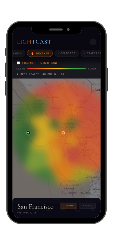
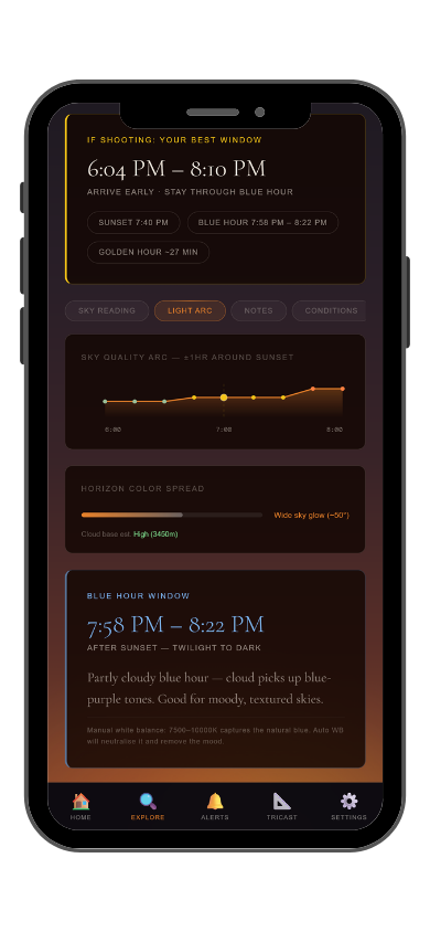
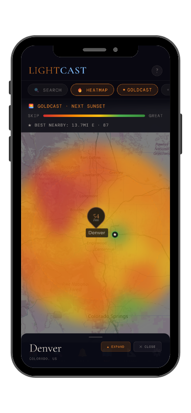
GoldCast golden hour forecast GoldCast conditions heatmap

GoldCast: golden hour score (left) · conditions heatmap (right)

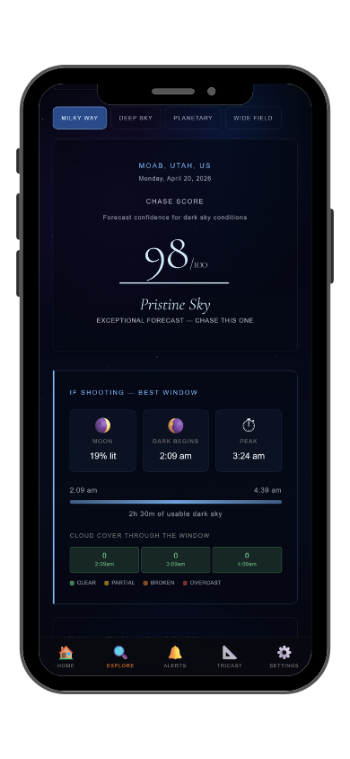
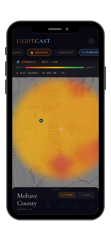
StarCast night sky forecast StarCast heatmap

StarCast: night sky score (left) · conditions heatmap (right)

LightCast Get a live forecast for your favorite spot


Frequently asked
What is the best time to photograph Crater Lake National Park?
July through September when the rim road is fully open. The lake's deep blue color is most vivid under clear summer skies. Afternoon thunderstorms are common in August — check GoldCast for morning windows, which tend to be clearer.
Can you see the Milky Way at Crater Lake?
Yes — Crater Lake has Bortle 2-3 skies at 7,000 feet. On calm nights the lake surface reflects the Milky Way, creating a double galaxy effect in long exposures. The galactic core is visible from May through September. Check StarCast for moon phase and cloud cover before heading out.
Are drones allowed at Crater Lake?
Drones are prohibited without a Special Use Permit. Check current NPS rules and FAA TFRs before any flight near the park.
Is the lake always that blue?
The blue color comes from the lake's exceptional depth (1,943 feet) and clarity — it absorbs longer wavelengths and scatters blue. The color is most saturated under clear skies with the sun high; overcast days mute it significantly. Check GoldCast for cloud cover before making the drive.
What is LightCast?
LightCast is a suite of photography weather tools. GoldCast handles golden hour timing with cloud and fog forecasts. StarCast scores night sky conditions. DroneCast covers wind and visibility for drone pilots. All three are free on web; full features including 7-day forecasts and push alerts are in the LightCast iOS app — $2.99/month after a 7-day free trial.
LightCast
Plan your next shoot.

Search any city, park, or location worldwide

Get LightCast on iPhone
or
Learn More →

$2.99/mo after 7-day free trial