LightCast · Death Valley National Park, CA

Death Valley National Park Photography Guide

Reading today's conditions…

Photography viewpoints · Death Valley

Where to Shoot

Death Valley is the hottest, driest, and lowest national park in the US — and one of the most photographically rich. The valley floor at Badwater sits 282 feet below sea level, surrounded by mountains that rise 11,000 feet above. The light here is extreme: raking golden hour shadows across sand dunes and salt polygons, volcanic crater moonscapes, and night skies with Bortle 1 darkness. Plan every shoot around water and temperature — this park has killed unprepared visitors in all seasons.

🌅
Mesquite Flat Sand Dunes Stovepipe Wells · Sunrise
The Mesquite Flat dunes are the most accessible in the park and the most photographed — a 100-foot dune field near Stovepipe Wells that catches raking sunrise shadows across the rippled sand face. Arrive in darkness to walk to the far dunes without leaving footprints in your composition. The Panamint Range rises behind the dunes to the west; at sunrise the mountains glow pink while the sand shadows sharpen. A telephoto (100–200mm) compresses the dune ridgelines dramatically.
🧂
Badwater Basin and Devil's Golf Course Valley Floor · Geometric Patterns
Badwater Basin at 282 feet below sea level is covered in salt polygons — geometric patterns 3–6 feet across that stretch to the horizon. The polygons catch the first and last light of the day, turning from grey to warm orange in minutes. Devil's Golf Course nearby has rough salt crystal formations that catch harsh midday texture light unusually well. Both are drive-up locations; the salt flat walks are flat and easy but carry water regardless of season.
🌌
Racetrack Playa and Eureka Dunes Bortle 1-2 · Night Sky
Racetrack Playa — the dry lake bed where rocks slide across the mud leaving visible tracks — is one of the most remote and darkest locations in the continental US. The 27-mile dirt road requires high clearance; the reward is Bortle 1 skies over a perfectly flat reflective surface. The sailing stones make extraordinary foreground for wide Milky Way compositions. Eureka Dunes to the north — the tallest in California at 680 feet — are equally dark and equally remote.
🌋
Zabriskie Point and Artist's Palette Furnace Creek · Badlands Color
Zabriskie Point overlooks a badlands landscape of golden mudstone hills and eroded ridges — the classic Death Valley landscape shot. Sunrise turns the formations from charcoal to deep gold to copper within minutes. Artist's Palette on the Artist's Drive loop road is a volcanic hillside streaked with oxidized minerals in shades of pink, green, yellow, and purple — it photographs best in the hour before sunset when direct light hits the face. Both are drive-up locations with short walks.

Inside LightCast Suite
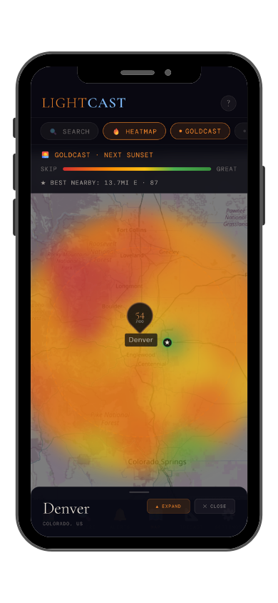
GoldCast golden hour forecast GoldCast conditions heatmap

GoldCast: golden hour score (left) · conditions heatmap (right)

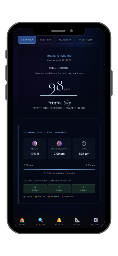
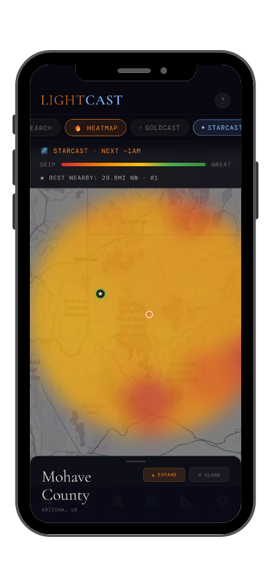
StarCast night sky forecast StarCast heatmap

StarCast: night sky score (left) · conditions heatmap (right)

LightCast Get a live forecast for your favorite spot


Frequently asked
What is the best time to photograph Death Valley National Park?
October through April — summer heat kills photography plans and can kill photographers. November through February gives the lowest sun angle and sharpest dune shadows. Check GoldCast for exact golden hour timing before heading to the dunes in darkness.
Can you see the Milky Way at Death Valley?
Yes — Death Valley is an International Dark Sky Park with Bortle 1-2 skies. Racetrack Playa and Eureka Dunes reach Bortle 1 on new moon nights. The galactic core is visible from late April through September. Check StarCast for moon phase and sky conditions before making the drive out.
Are drones allowed at Death Valley?
Drones are prohibited without a Special Use Permit. Check current NPS rules and FAA TFRs before any flight near the park.
How do I photograph the sand dunes without footprints?
Arrive at the dunes in full darkness — 45–60 minutes before sunrise — and walk past the near dunes to find untracked sand deeper in the field. Come in from the sides rather than the wind-facing face. The raking shadow lines disappear within 30 minutes of sunrise as the sun climbs, so you have a short window regardless.
What is LightCast?
LightCast is a suite of photography weather tools. GoldCast handles golden hour timing with cloud and fog forecasts. StarCast scores night sky conditions. DroneCast covers wind and visibility for drone pilots. All three are free on web; full features including 7-day forecasts and push alerts are in the LightCast iOS app — $2.99/month after a 7-day free trial.
LightCast
Plan your next shoot.

Search any city, park, or location worldwide

Get LightCast on iPhone
or
Learn More →

$2.99/mo after 7-day free trial