LightCast · Great Smoky Mountains National Park, TN

Great Smoky Mountains National Park Photography Guide

Reading today's conditions…

Photography viewpoints · Great Smoky Mountains

Where to Shoot

Great Smoky Mountains is the most visited national park in the US, but the crowds thin dramatically before sunrise. The Smokies are defined by their atmosphere — the "smoke" is actual water vapor rising from dense forest, and morning fog filling the valleys creates one of the most otherworldly conditions in Eastern landscape photography. Fall foliage in the southern Appalachians rivals New England, and the spring wildflower display in the coves is extraordinary.

🌅
Clingmans Dome and Andrews Bald High Elevation · Sunrise / Fog
Clingmans Dome at 6,643 feet is the highest point in the park and the highest point on the entire Appalachian Trail. The concrete observation tower gives a 360° view above the tree line — and above the fog. On mornings when a fog inversion fills the valleys, the ridges appear as islands above a sea of white from the tower. Andrews Bald, reached by a 3.6-mile round-trip hike from the Clingmans Dome parking lot, gives an open grassy bald with unobstructed ridge views at a more intimate scale.
🍂
Morton Overlook and Newfound Gap US 441 · Valley Fog
The chain of overlooks along US-441 through Newfound Gap gives the best roadside fog photography in the park. Morton Overlook faces west into the Sugarland Mountain valley — on fog mornings the valley fills completely and the ridgelines step back in atmospheric haze. Newfound Gap itself straddles the Tennessee-North Carolina state line at 5,046 feet and is often above the fog layer at sunrise. Both are drive-up positions that reward arriving before dawn with a thermos of coffee.
🌸
Cades Cove and Cataloochee Valley Historic Settlements · Wildlife
Cades Cove is a historic 11-mile loop road through an open valley with preserved homesteads, mills, and churches — and one of the best places in the Southeast to photograph white-tailed deer and black bear at dawn. The cove fills with morning fog in fall and the pastoral historic structures give a uniquely American landscape frame. Cataloochee Valley on the North Carolina side is less crowded and has an elk herd reintroduced in 2001 — bull elk bugling in the meadow at sunrise in October is extraordinary.
💧
Alum Cave Trail and Laurel Falls Interior Trails · Forest
Alum Cave Trail follows Alum Cave Creek through old-growth hemlock and rhododendron to an overhanging bluff — the trail itself is the subject, not just the destination. Rhododendron blooms in late June along the creek. Laurel Falls is the most visited waterfall in the park — the 1.3-mile paved trail makes it accessible to all levels, and the 80-foot two-tiered fall is best on overcast mornings when the soft light eliminates harsh shadows in the forest canopy.

Inside LightCast Suite
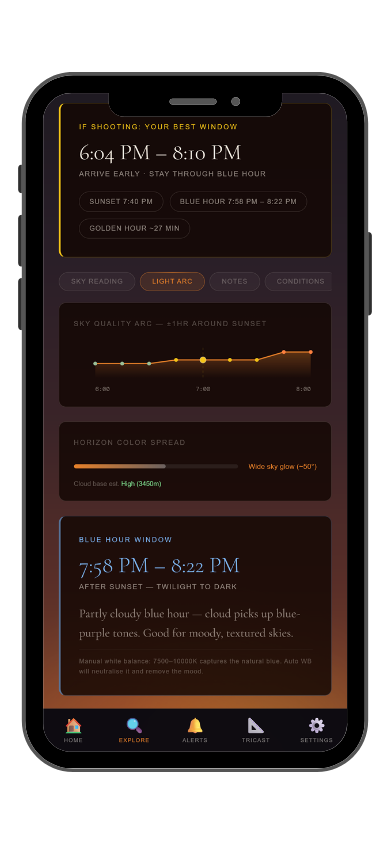
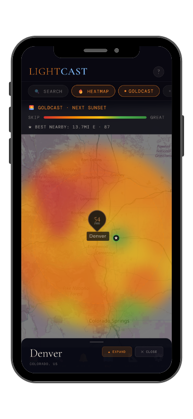
GoldCast golden hour forecast GoldCast conditions heatmap

GoldCast: golden hour score (left) · conditions heatmap (right)

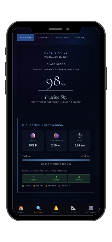
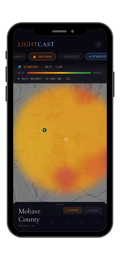
StarCast night sky forecast StarCast heatmap

StarCast: night sky score (left) · conditions heatmap (right)

LightCast Get a live forecast for your favorite spot


Frequently asked
What is the best time to photograph Great Smoky Mountains National Park?
Mid-October through early November for fall foliage and late April through May for wildflowers. Morning fog inversions in fall are the defining Smokies condition — check GoldCast and FogCast the night before for fog probability alongside golden hour timing.
Can you see the Milky Way at Great Smoky Mountains?
The park's Bortle 4-5 skies make it challenging, but the high ridges at Clingmans Dome and Andrews Bald give the best conditions. The galactic core is visible on new moon nights with exceptional clarity from April through September. Check StarCast for moon phase and transparency before heading up.
Are drones allowed at Great Smoky Mountains?
Drones are prohibited without a Special Use Permit. Check current NPS rules and FAA TFRs before any flight near the park.
How do I photograph the Smokies fog inversions?
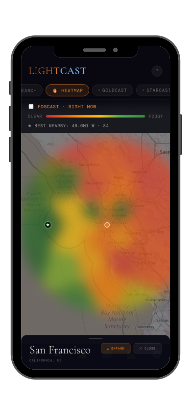
Fog inversions form when cool air settles in the valleys overnight while the ridges stay clear. The best conditions occur after clear nights with calm winds and high humidity — typically in fall. Drive to a ridge overlook (Morton Overlook, Clingmans Dome) before sunrise and watch the fog layer below you light up at dawn. FogCast in the LightCast app forecasts fog probability alongside cloud cover.
What is LightCast?
LightCast is a suite of photography weather tools. GoldCast handles golden hour timing with cloud and fog forecasts. StarCast scores night sky conditions. DroneCast covers wind and visibility for drone pilots. All three are free on web; full features including 7-day forecasts and push alerts are in the LightCast iOS app — $2.99/month after a 7-day free trial.
LightCast
Plan your next shoot.

Search any city, park, or location worldwide

Get LightCast on iPhone
or
Learn More →

$2.99/mo after 7-day free trial