LightCast · North Cascades National Park, WA

North Cascades National Park Photography Guide

Reading today's conditions…

Photography viewpoints · North Cascades

Where to Shoot

North Cascades is one of the most rugged and least-visited national parks in the system — jagged glaciated peaks, more glaciers than anywhere in the lower 48 outside Alaska, and valleys so steep and deep that some never see direct sunlight in winter. The North Cascades Highway (SR-20) threads through the park and gives access to some of the most dramatic mountain scenery in the American West without the crowds of more famous parks.

💙
Diablo Lake Overlook SR-20 · Turquoise Water
Diablo Lake is one of the most distinctively colored bodies of water in the US — the glacial flour suspended in the water turns it a vivid turquoise that photographs nearly unreal. The overlook on SR-20 gives a drive-up view of the lake with the jagged peaks of the Colonial and Davis ranges above. Late afternoon light in summer brings out the maximum color saturation. The color is real; no post-processing required. A polarizing filter helps reduce surface reflection and deepen the tone.
🍂
Cascade Pass and Sahale Arm High Route · Fall Larch
Cascade Pass (3.7 miles, 1,800 feet) is the most rewarding day hike in the park — the pass gives a 360° view of glaciated peaks with the Cascade River valley below. In late September and early October, the larch trees on Sahale Arm above the pass turn brilliant gold against the grey granite and permanent snowfields. The Sahale Arm extension adds 2 more miles and 1,600 additional feet of gain to reach the glacier moraine at 7,600 feet — the view from there is the strongest elevated position in the park.
🌌
Ross Lake and Gorge Lake Bortle 2-3 · Night Sky
Ross Lake stretches 24 miles north into Canada and is accessible primarily by trail or water taxi — the remoteness delivers Bortle 2 skies in the upper reaches. Gorge Lake, accessible directly from SR-20, gives easier night sky access with the jagged ridge silhouette above the water. The galactic core rises to the south from May through September. The very limited light pollution and frequent Pacific fronts mean windows must be planned carefully — check conditions several days out.
🌊
Maple Pass Loop Okanogan-Wenatchee NF · Ridge Views
The Maple Pass Loop (7 miles, 2,000 feet) in the adjacent national forest just east of the park boundary is one of the best fall color hikes in Washington — the ridge above Lake Ann and Rainy Lake is blanketed in larch and subalpine fir that turn gold in early October. The elevated ridge position gives wide views into the North Cascades wilderness and photographs well all day when the ridgeline light is even. It's frequently less crowded than the Cascade Pass trail and open slightly earlier in the season.

Inside LightCast Suite
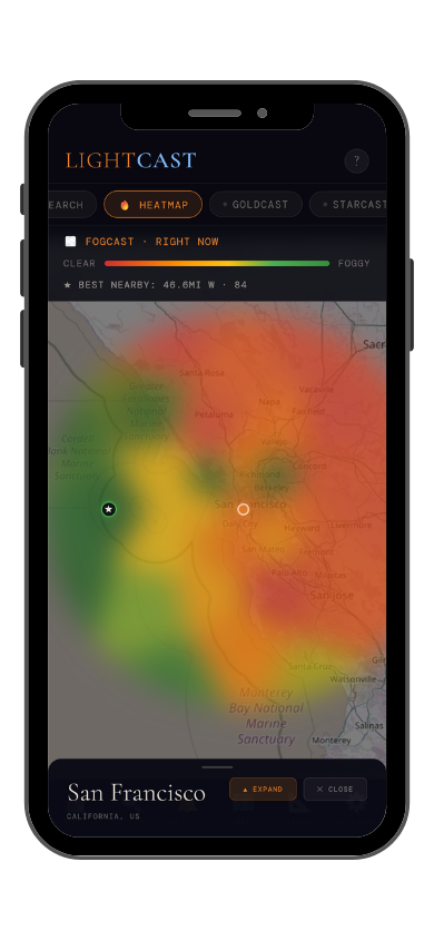
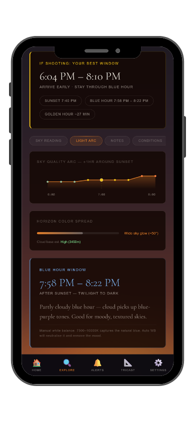
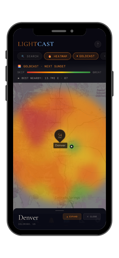
GoldCast golden hour forecast GoldCast conditions heatmap

GoldCast: golden hour score (left) · conditions heatmap (right)

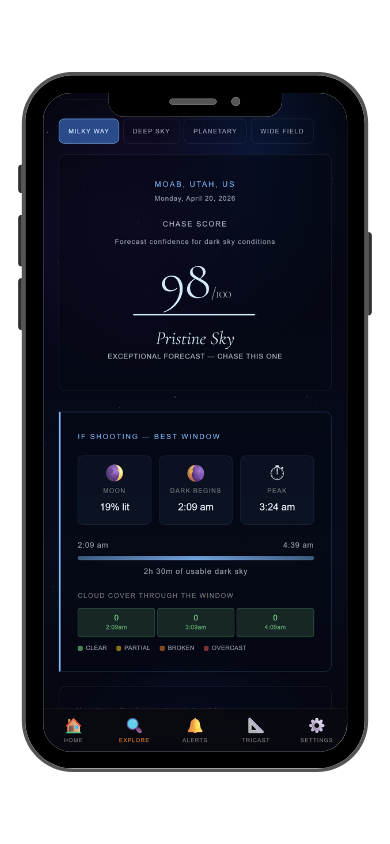
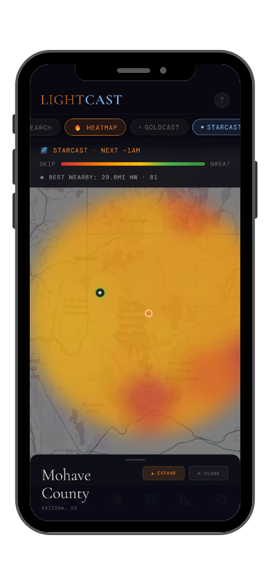
StarCast night sky forecast StarCast heatmap

StarCast: night sky score (left) · conditions heatmap (right)

LightCast Get a live forecast for your favorite spot


Frequently asked
What is the best time to photograph North Cascades National Park?
Late September through October for larch gold and fall color at elevation — this is the strongest season by far. July and August work for wildflowers and glacier views. Check GoldCast carefully; the North Cascades get significant cloud cover and weather windows are narrow.
Can you see the Milky Way at North Cascades?
Yes — North Cascades has Bortle 2-3 skies and is one of the least light-polluted parks in Washington. Gorge Lake gives easy access; Ross Lake's upper reaches are even darker. The galactic core is visible from late April through September. Check StarCast — Pacific weather fronts move through frequently and windows must be planned.
Are drones allowed at North Cascades?
Drones are prohibited without a Special Use Permit. Check current NPS rules and FAA TFRs before any flight near the park.
When does the larch turn gold in North Cascades?
Typically late September through early October at elevation (6,000–7,500 feet). The Sahale Arm above Cascade Pass and the Maple Pass ridge are the best positions. The timing shifts by a week or two year to year depending on summer heat — check trail reports in mid-September to gauge current conditions.
What is LightCast?
LightCast is a suite of photography weather tools. GoldCast handles golden hour timing with cloud and fog forecasts. StarCast scores night sky conditions. DroneCast covers wind and visibility for drone pilots. All three are free on web; full features including 7-day forecasts and push alerts are in the LightCast iOS app — $2.99/month after a 7-day free trial.
LightCast
Plan your next shoot.

Search any city, park, or location worldwide

Get LightCast on iPhone
or
Learn More →

$2.99/mo after 7-day free trial