LightCast · Theodore Roosevelt National Park, ND

Theodore Roosevelt National Park Photography Guide

Reading today's conditions…

Photography viewpoints · Theodore Roosevelt

Where to Shoot

Theodore Roosevelt National Park preserves a stretch of the Little Missouri Badlands in North Dakota — eroded buttes, coulees, and floodplain bottomland that TR himself described as having a desolate, grim beauty. Wild horses roam the South Unit, bison herds move freely through both units, and prairie dog colonies populate the flat-topped benches. The Bortle rating is among the lowest in any US national park, making this one of the most overlooked astrophotography destinations in the country.

🌅
Painted Canyon Overlook South Unit · Sunrise
Painted Canyon is the first viewpoint most visitors encounter — a pull-off directly off I-94 that looks into a wide badlands bowl with the Little Missouri River winding below. At sunrise the banded clay buttes shift through blue to orange to red as the light angle changes. The canyon visitor center gives direct access; arrive before civil twilight to watch the color build. The canyon faces east and the morning light is direct from first light through mid-morning, making this one of the most reliable sunrise positions in the park.
🐎
Ridgeline Trail and Buck Hill South Unit · Elevated Views
Buck Hill is the highest point in the South Unit at 2,860 feet and requires only a short 0.25-mile walk from the road — the elevated position gives a 360° view across the entire badlands basin with the Little Missouri River and cottonwood bottomlands visible below. Wild horses in the South Unit are frequently seen from the Ridgeline Trail and on the flats near the River Bend Overlook. Bison often appear on the horizon at golden hour — the badlands buttes behind a bison herd at sunset is the defining Theodore Roosevelt landscape shot.
🌌
North Unit and Oxbow Overlook Bortle 2-3 · Night Sky
The North Unit 70 miles north of the South Unit is even more remote and darker — the Bortle class drops to 2 away from the handful of small towns nearby. Oxbow Overlook at the end of the North Unit scenic drive gives a 1,000-foot drop to the Little Missouri River below, visible by starlight on clear nights. The galactic core rises to the south from May through August. Longhorn steers and bison in the North Unit sometimes appear as dark silhouettes on the badlands benches during night shoots.
🌩️
Little Missouri River Bottomlands South Unit · Storm Light
Summer thunderstorms build over the Great Plains regularly from June through August, and the badlands landscape catches storm light dramatically — the contrast of dark approaching storm and golden-lit buttes in the foreground is one of the most dramatic conditions in Great Plains photography. The South Unit scenic drive pulls off at River Bend Overlook above the cottonwood bottomlands and gives unobstructed western views for watching weather approach. Fall cottonwood color along the river bottom in September and October adds warmth to the badlands basin compositions.

Inside LightCast Suite
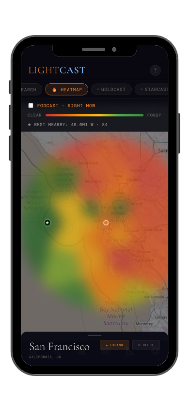
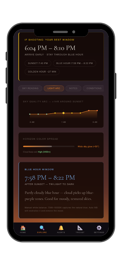
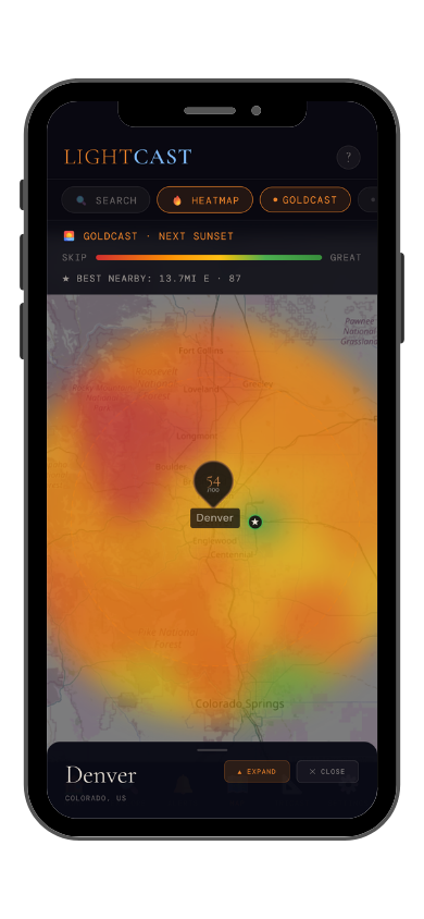
GoldCast golden hour forecast GoldCast conditions heatmap

GoldCast: golden hour score (left) · conditions heatmap (right)

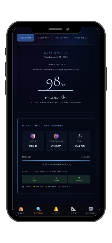
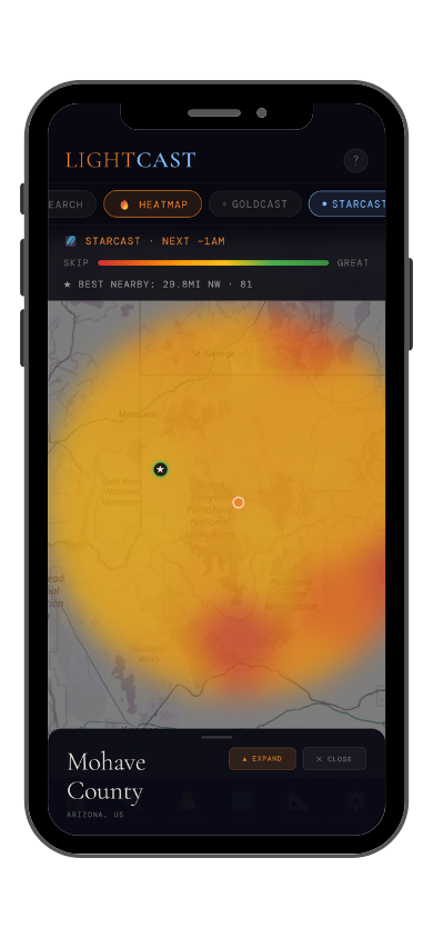
StarCast night sky forecast StarCast heatmap

StarCast: night sky score (left) · conditions heatmap (right)

LightCast Get a live forecast for your favorite spot


Frequently asked
What is the best time to photograph Theodore Roosevelt National Park?
May through October for full access. September and October add cottonwood gold in the river bottomlands and cooler hiking temperatures. Summer storm light over the badlands is extraordinary. Check GoldCast the night before for timing and cloud cover.
Can you see the Milky Way at Theodore Roosevelt?
Yes — Theodore Roosevelt is one of the darkest national parks in the Great Plains, with Bortle 2-3 skies. The North Unit drops to Bortle 2 on new moon nights. The badlands formations and river bottomlands make excellent foreground. The galactic core is visible from late April through September. Check StarCast before heading out.
Are drones allowed at Theodore Roosevelt?
Drones are prohibited without a Special Use Permit. Check current NPS rules and FAA TFRs before any flight near the park.
Where do I find the wild horses?
Wild horses roam the South Unit and are most commonly seen in the early morning and late evening near the Peaceful Valley Ranch area and along the scenic drive. They're not guaranteed — check with the visitor center on recent sightings. The herd sizes vary; there are typically 60–100 horses in the South Unit managed by the park.
What is LightCast?
LightCast is a suite of photography weather tools. GoldCast handles golden hour timing with cloud and fog forecasts. StarCast scores night sky conditions. DroneCast covers wind and visibility for drone pilots. All three are free on web; full features including 7-day forecasts and push alerts are in the LightCast iOS app — $2.99/month after a 7-day free trial.
LightCast
Plan your next shoot.

Search any city, park, or location worldwide

Get LightCast on iPhone
or
Learn More →

$2.99/mo after 7-day free trial