What the app shows you
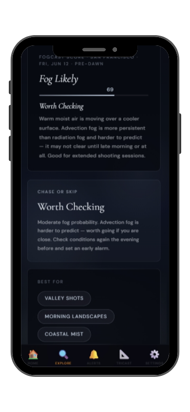
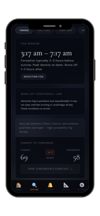
Full FogCast score, fog type, chase-or-skip verdict, and 10-day outlook — all in the app.
Get LightCast Suite on iOS
Know before you drive: FogCast checks the conditions that produce photogenic fog
Get more than a snapshot of current conditions. The LightCast app unlocks everything to plan ahead
Humidity alone isn't enough. Wind alone isn't enough. Cloud cover alone isn't enough. Photogenic valley fog requires several conditions to line up at once, and most weather apps don't read them together.
Set a FogCast threshold once. The app will alert you when conditions at your saved locations look promising, so you're not manually checking at 4am.

Don't waste a sunrise drive. Check FogCast before you leave.
Download on the App StoreBanff National Park in the Canadian Rockies combines glacially fed lakes, dramatic mountain peaks, and cold valley floors that produce some of the most photogenic fog in North America. The Bow Valley floor at Banff townsite sits at 1,383 meters, and cold air drains off the surrounding peaks overnight, pooling in the valley and often producing dense radiation fog that fills the corridor while the mountain tops remain clear.
Lake Minnewanka and the Vermilion Lakes are the most atmospheric fog locations near the townsite. The Vermilion Lakes at dawn with fog over the water and Mount Rundle reflecting in the calm surface is one of the classic Canadian Rockies compositions. The Bow River corridor and the Banff Springs Hotel overlooks also offer strong fog compositions when the valley fills with mist.
Fall is the best season, from late September through November, when overnight temperatures drop sharply and the larch trees at higher elevations are golden. Valley fog is most reliable after clear, calm nights following days with high humidity. The window before sunrise is critical: valley fog in Banff can burn off quickly once the sun reaches the valley floor.