What the app shows you
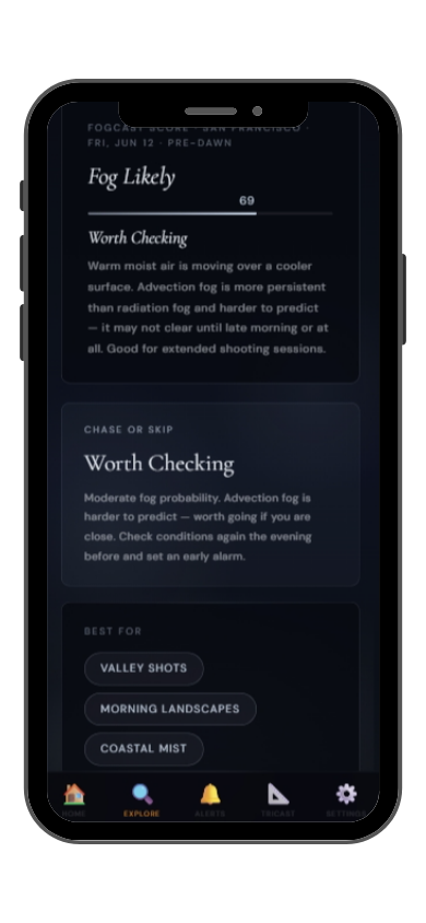

Full FogCast score, fog type, chase-or-skip verdict, and 10-day outlook — all in the app.
Get LightCast Suite on iOS
Know before you drive: FogCast checks the conditions that produce photogenic fog
Get more than a snapshot of current conditions. The LightCast app unlocks everything to plan ahead
Humidity alone isn't enough. Wind alone isn't enough. Cloud cover alone isn't enough. Photogenic valley fog requires several conditions to line up at once, and most weather apps don't read them together.
Set a FogCast threshold once. The app will alert you when conditions at your saved locations look promising, so you're not manually checking at 4am.

Don't waste a sunrise drive. Check FogCast before you leave.
Download on the App StoreCadillac Mountain at 466 meters is the highest point on the United States Atlantic coast and, for part of the year, the first place in the continental US where the sun rises. It sits above Frenchman Bay on Mount Desert Island in Acadia National Park, and its ocean-facing position makes it one of the most fog-prone high points in Maine. Coastal fog from the cold Gulf of Maine combines with Frenchman Bay marine moisture to produce fog that wraps the summit and fills the valleys between the island's granite peaks in extraordinary ways.
The Summit Road parking area gives immediate access to the open granite summit, where fog can be experienced from inside as well as observed below from the rock outcrops at the south and east edges. Frenchman Bay below the mountain frequently holds a low fog layer in summer that the summit sits above — a blue-and-white panorama of islands, fog, and ocean. The carriage roads through the valley forests below Cadillac are excellent for forest fog photography. July and August peak the coastal fog season; September and October combine fog with fall color in the valleys and excellent early sunrises.
Cadillac Mountain fog arrives from the ocean as advection fog when warm, moist air moves over the cold Gulf of Maine waters. The fog forms offshore and moves onshore with the night sea breeze, typically arriving between midnight and 4am in summer. If the evening southwesterly dies by 11pm and the bay visibility is already dropping, the summit will be in cloud by pre-dawn. In autumn, valley radiation fog adds a second fog source in the lake basins below the summit.