What the app shows you
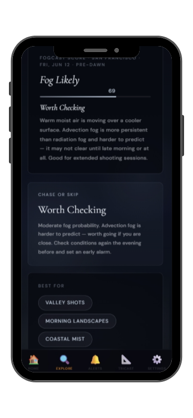
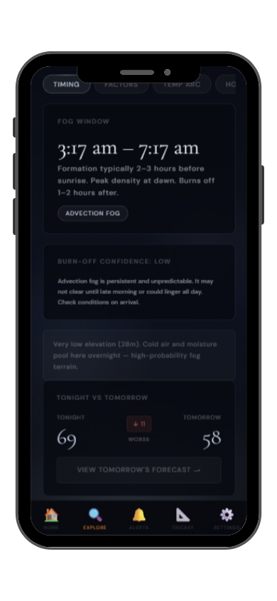
Full FogCast score, fog type, chase-or-skip verdict, and 10-day outlook — all in the app.
Get LightCast Suite on iOS
Know before you drive: FogCast checks the conditions that produce photogenic fog
Get more than a snapshot of current conditions. The LightCast app unlocks everything to plan ahead
Humidity alone isn't enough. Wind alone isn't enough. Cloud cover alone isn't enough. Photogenic valley fog requires several conditions to line up at once, and most weather apps don't read them together.
Set a FogCast threshold once. The app will alert you when conditions at your saved locations look promising, so you're not manually checking at 4am.

Don't waste a sunrise drive. Check FogCast before you leave.
Download on the App StoreLinville Gorge is one of the deepest gorges in the eastern United States, carved by the Linville River through Precambrian rock in the Blue Ridge Mountains of North Carolina. The gorge drops nearly 500 meters from the rim to the river, and the combination of depth, river moisture, and the gorge's enclosed shape produces powerful fog events. On calm autumn mornings, the gorge fills with fog that rises slowly as the sun heats the rock walls, creating a fog cauldron effect that is one of the most dramatic natural phenomena in the southern Appalachians.
Wiseman's View on the west rim is the classic photography overlook — a rocky perch with an unobstructed view down into the gorge and across to Hawksbill Mountain and Table Rock on the east rim. When fog fills the gorge floor and the upper walls are clear, the river is invisible and only the rim formations are visible above the white cloud. The Table Rock summit trail on the east side gives an elevated view looking down into the fog-filled gorge. October and early November are peak fog photography months, combining reliable cold nights with autumn color on the rim forests.
Linville Gorge fog is classic cold-air pooling drainage fog. The Linville River provides continuous moisture, and on clear, calm nights the gorge walls radiate heat away rapidly, cooling the trapped air below the dew point by pre-dawn. The narrowness of the gorge means the fog sits in a very defined layer — often 100 to 200 meters deep — with a sharp top that can be observed precisely from the rim overlooks. A calm night with a clear sky and temperatures dropping to 5°C or below at rim level almost guarantees fog in the gorge by 6am.