What the app shows you
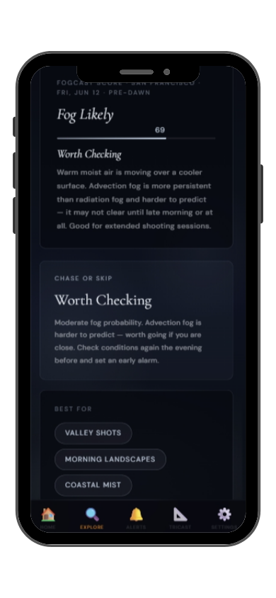
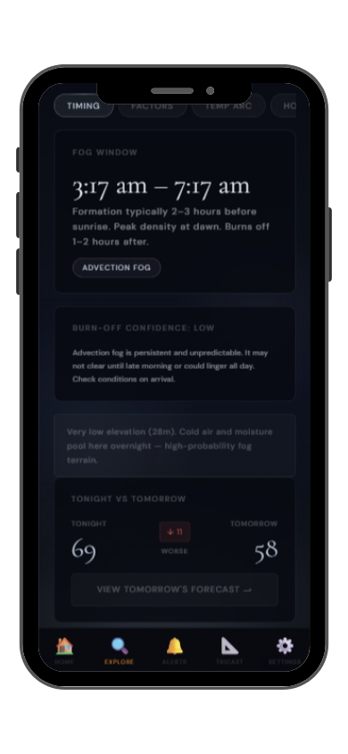
Full FogCast score, fog type, chase-or-skip verdict, and 10-day outlook — all in the app.
Get LightCast Suite on iOS
Know before you drive: FogCast checks the conditions that produce photogenic fog
Get more than a snapshot of current conditions. The LightCast app unlocks everything to plan ahead
Humidity alone isn't enough. Wind alone isn't enough. Cloud cover alone isn't enough. Photogenic valley fog requires several conditions to line up at once, and most weather apps don't read them together.
Set a FogCast threshold once. The app will alert you when conditions at your saved locations look promising, so you're not manually checking at 4am.

Don't waste a sunrise drive. Check FogCast before you leave.
Download on the App StorePacifica sits immediately south of San Francisco on the San Mateo coast, directly in the path of the prevailing marine layer that makes the Bay Area famous for fog. The town's exposed position below Devil's Slide and San Pedro Mountain creates a natural funnel for marine air, and the municipal pier, Rockaway Beach, and Linda Mar Beach are regularly blanketed in thick coastal fog that rolls in off the Pacific with cinematic intensity.
The Pacifica Municipal Pier is the iconic fog photography subject here — the pier structure disappearing into white fog over dark water is one of the Bay Area's most-photographed coastal scenes. Rockaway Beach north of the pier and Sharp Park Beach south offer longer beach perspectives with fog-shrouded sea stacks and cliffs. Devil's Slide — now a trail above the old Highway 1 — gives dramatic elevated views over the fog-filled coast. June through September is peak fog season, with July commonly producing the densest, most persistent fog of the year.
Pacifica fog is classic Northern California marine layer. The Pacific high pressure system pushes cold, moist air onshore, where it meets the relatively warmer land and condenses. Pacifica's location at the base of the coastal range with no inland gaps nearby means fog pools here reliably. When the marine layer is 200 to 400 meters deep and onshore flow is light to moderate, the pier and beaches will be fogged in from pre-dawn through late morning.