 Chicago, IL
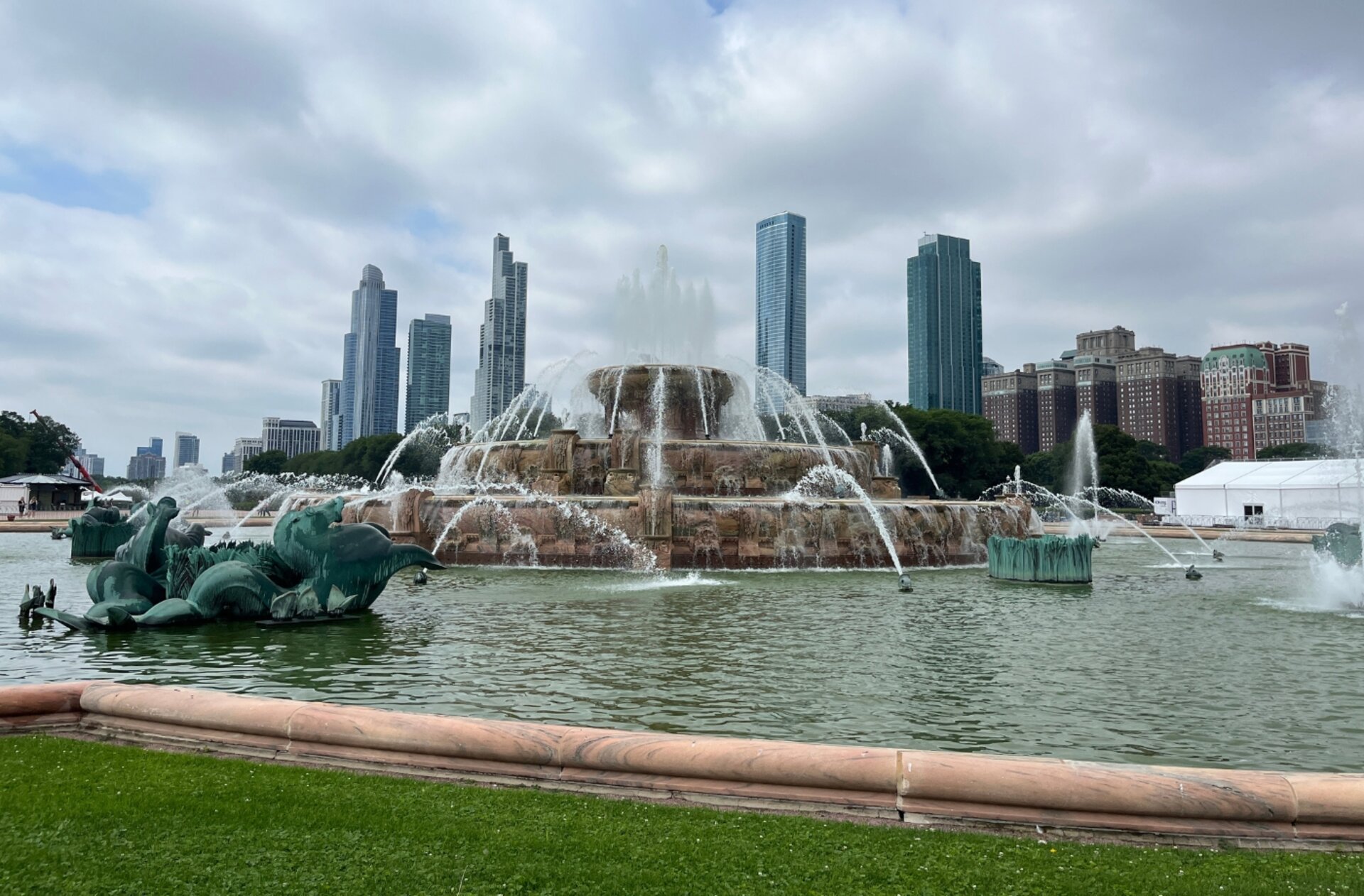
Chicago
Photography Conditions
Sunset · Astrophotography · Drone Flight · Pre-loaded for Chicago
The Chicago skyline shot. Position yourself at the lakefront just north of Navy Pier at golden hour and shoot southwest — the full skyline lines up against the setting sun in late spring and summer. The water provides reflection foreground that the city otherwise lacks.
Check tonight's sunset →Montrose gives you the skyline to the south and open water to the east — ideal for sunrise with the city lighting up behind you. The harbor and bird sanctuary add foreground variety. Less crowded than Navy Pier and better for longer focal lengths.
Check sunrise forecast →Cloud Gate (the Bean) reflects the skyline in every direction — a unique compositional anchor no other city has. Golden hour light hitting the sculpture creates color gradients across the curved surface. Check drone rules: most of Grant Park is restricted, but surrounding areas are accessible.
Check golden hour →The closest genuinely dark sky from Chicago. The dune ridgelines give elevated shooting positions with the lake as foreground. On clear new moon nights in summer you can get the Milky Way core rising over Lake Michigan — one of the most distinctive shots in the Midwest.
Check Indiana Dunes tonight →| Location | Distance | Bortle | Best for | |
|---|---|---|---|---|
| Starved Rock State Park | 100 mi SW | 4–5 | Milky Way over Illinois River | Starcast → |
| Indiana Dunes National Park | 60 mi SE | 5–6 | Milky Way over Lake Michigan | Starcast → |
| Kankakee River State Park | 60 mi S | 5–6 | Wide field, river reflections | Starcast → |
| Shawnee National Forest | 320 mi S | 3–4 | Serious dark sky, Garden of Gods | Starcast → |
- Morning lake fog burns off to create atmospheric layered shots along the waterfront
- Milky Way core returns — Indiana Dunes and Starved Rock are worth the drive by May
- Golden hour at 7–7:30 PM, extending toward summer
- Wind off the lake is strong: always check Dronecast near the waterfront
- Sun sets northwest in June: skyline aligns with the setting sun from the lakefront
- Milky Way core up by 10 PM — drive to Indiana Dunes on new moon weekends
- Humidity haze is the enemy: check transparency score in Starcast before driving
- Thunderstorm season produces dramatic pre-storm and post-storm sky conditions
- Low-angle October light rakes across the skyline and the Bean with exceptional color
- Milky Way fades in September; pivot fully to golden hour cityscape work
- Post-front days offer the best transparency of the year — perfect for star shooting
- Chicago marathon and fall events: scout locations ahead to avoid crowds
- Snow on the lakefront with amber sky is one of Chicago's strongest shots
- Golden hour starts as early as 4:00 PM — plan your location before work
- Cold dry air: best atmospheric transparency of the year for stars
- Wind chill off the lake routinely grounds drones — always check Dronecast first